
Hidden Creek Surveying Awarded to Coffey
Project Announcement
In August 2021, Coffey was awarded by Hall-Irwin Corporation (HIC) the surveying for Phases 2 and 3 of the Hidden Creek residential development in Frederick, Colorado.
There are many different types of land surveying. However, the type of survey work Coffey will perform for HIC falls under the category of construction staking.
Defining Construction Staking
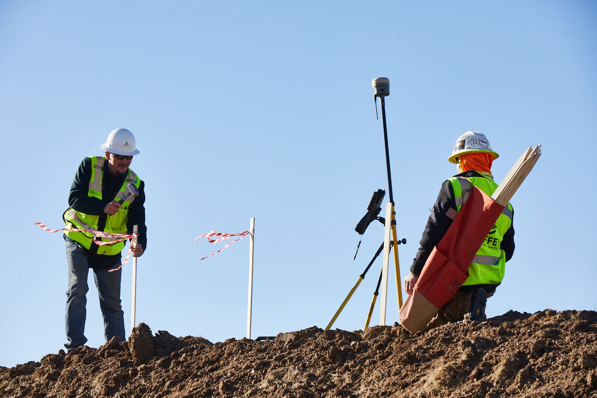
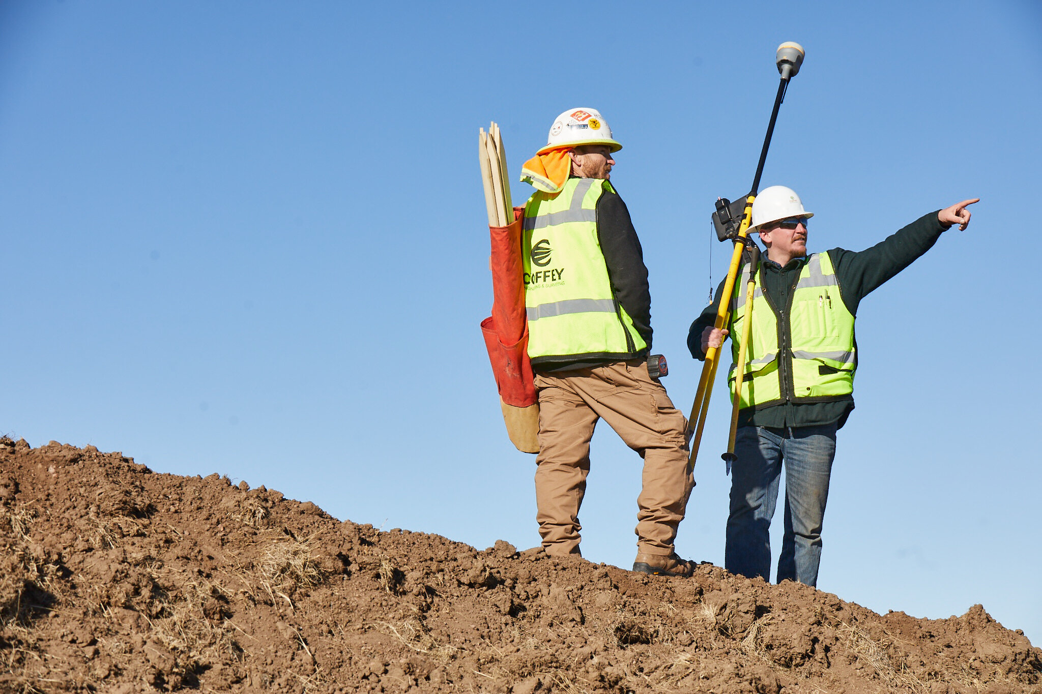
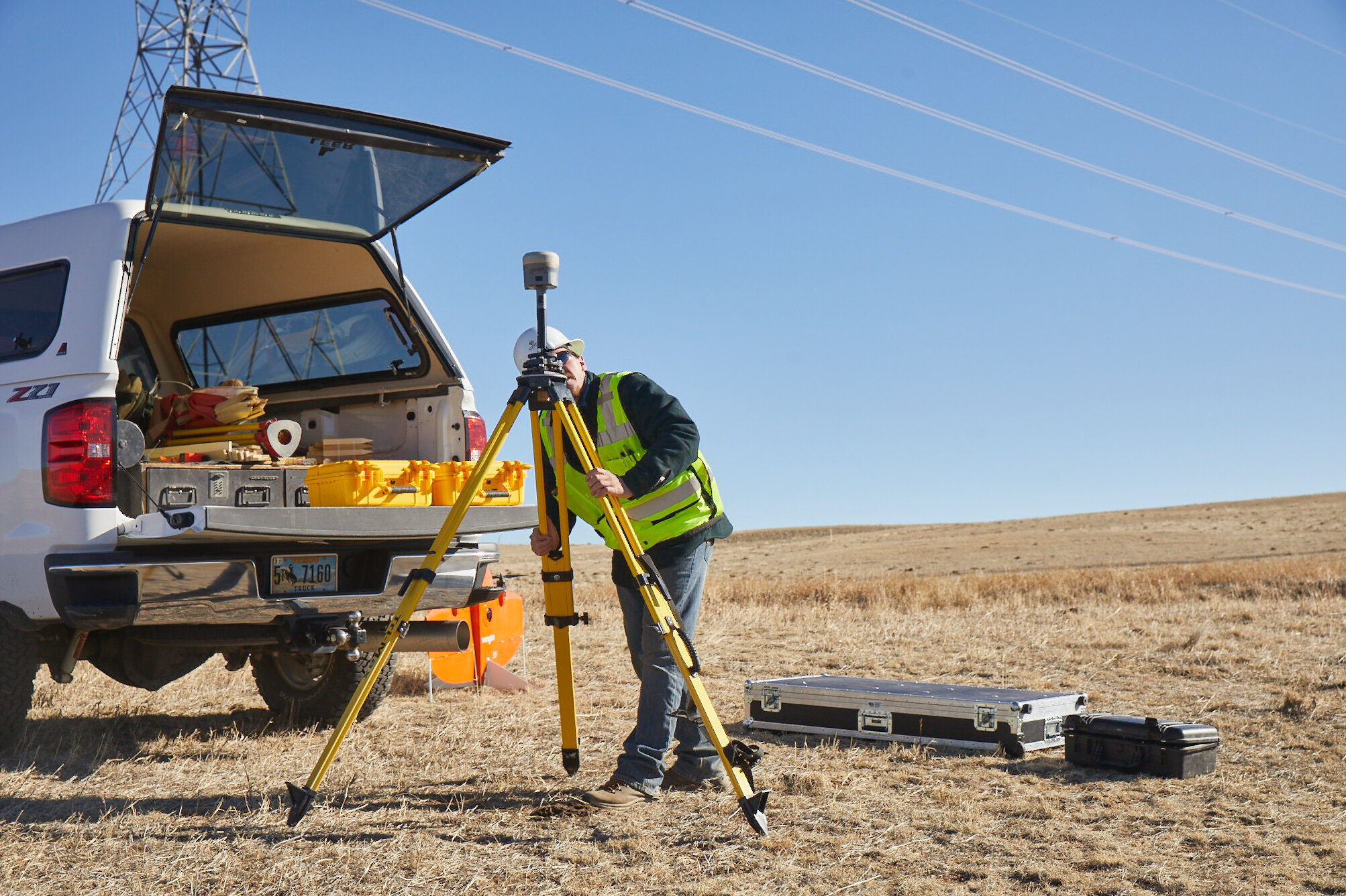
Coffey surveyors applying stakes to the ground.
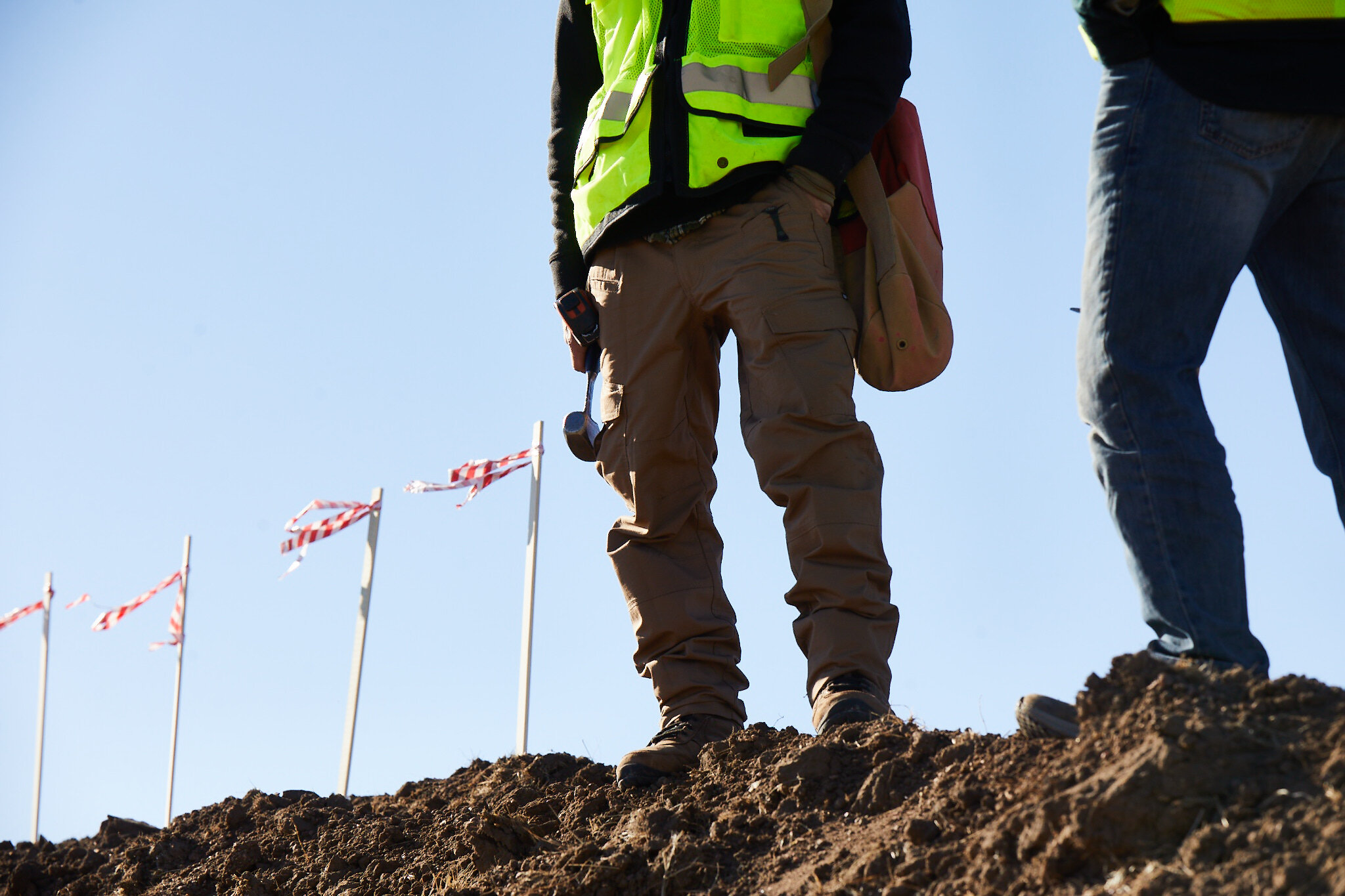
Stakes are visible identifiers of land boundaries.
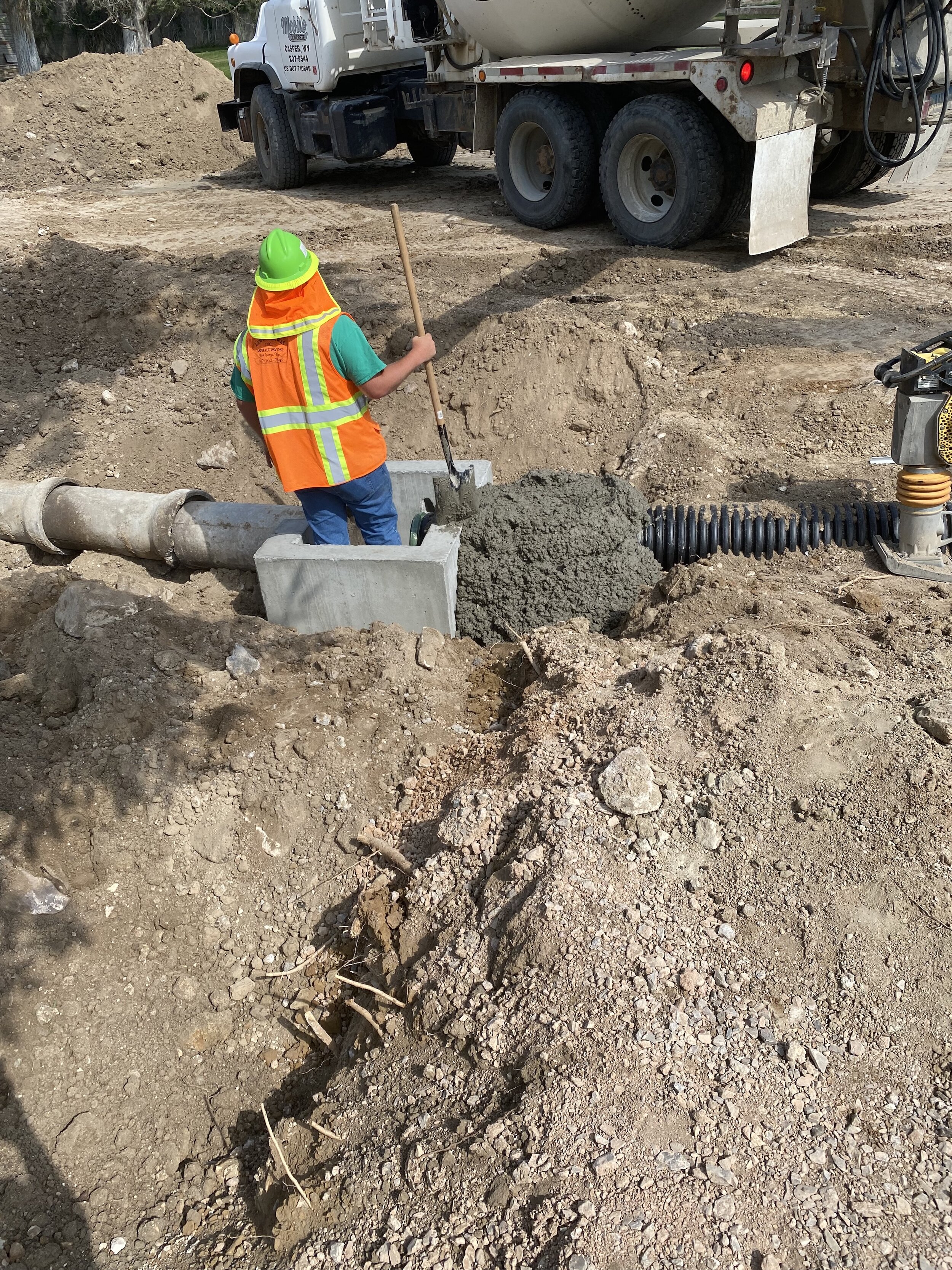
Construction staking is the process in which a land surveyor interprets architectural and civil engineering designs for a project and then places stakes in the ground of the actual site. Placing these stakes provides the precise locations and dimensions from which subcontractors can enact a plan.
For example, a land surveyor would go to the site of a proposed building—with plans in hand—and perform precise measurements to translate these designs to the "real world." Once they perform such measurements, they place stakes in the ground, marking exactly where things should be constructed or installed, horizontally and vertically. Subcontractors such as builders or utility providers would then adhere to those stakes placed by the surveyor.
Hidden Creek Project Details
Coffey will begin the survey work on Hidden Creek in October or November of 2021, and it will be a 4-6 month-long project. Hall-Irwin's subcontractors will begin construction shortly after Coffey begins its survey work, and the surveyors and builders will work in tandem with one another throughout the development process.
The home-building process for this project is divided into three construction phases. Each phase consists of a set of homes that are completed at different times. Since these phases are treated as individual projects, different companies may function in the same role throughout phases.
Another surveying company performed the staking for Phase 1 of surveying for the Hidden Creek subdivision, and now Coffey has been awarded the contract to manage Phases 2 and 3
Coffey responsibilities include staking of:
Homes (foundations/footings, final grading for the homes, ensuring water runoff will not flow back to the house or cause any flooding, etc.)
Streets (curbs, gutters, sidewalks along the roadways, etc.)
Utilities (underground electric, water, sanitary sewer, storm sewer, and so forth)
A Surveyor’s Role in Large-Scale Development
When it comes to constructing large-scale infrastructures, it is vital to acknowledge the complexity of such operations. In relation to engineers and surveyors, the sequence of operations is typically as follows:
A civil engineer would request a land surveyor to go out to a project site, collect and return to the engineer a specific set of data.
The engineer will then interpret that data and create an appropriate set of design plans.
The same or different survey company will then be dispatched out to the site, with the engineer’s design plans, to perform construction staking and ensure feasibility and correctness of the final product.
As mentioned earlier, Coffey’s role in the Hidden Creek project will be to perform the surveying for the construction staking. In addition to performing the complex mathematics involved to determine the horizontal and vertical elements of each subcontractor-installed component on-site, the surveyor’s role is to act as middleman of sorts between the engineer and the subcontractors. Since the engineer typically designs a project from an office, a surveyor works on-site to ensure discrepancies are caught and addressed.
A surveyor has the authority to change some project layouts when engineering designs have discrepancies that manifest upon implementation. However, this authority comes with assuming full liability for that part of the construction.
With responsibilities such as guiding subcontractors on project design and changing designs in-the-field as-needed, surveyors are highly trained professionals. Capable of coordinating a construction operation from many different perspectives simultaneously, a qualified surveyor will help ensure a quality product for the client and the owner.
For further reading, see our articles on Land Surveying and Subsurface Utility Locating.
About Land Surveying
Land surveying is the process of measuring the dimensions of any land surface, such as horizontal distances, directions, angles and elevation—including both natural and artificial (“man-made”) characteristics of the land.
One of the most critical pieces of information a land surveyor may provide is the geographical boundaries of a client’s land.
Follow Coffey


Browse More Projects